With a population surpassing 210,000 and an elevation around 1,470 feet on the Big Sioux River, Sioux Falls has seen its construction pace accelerate dramatically over the past decade. Every time a new commercial foundation or roadway subgrade is prepared across Minnehaha County, the gradation of the glacial till and alluvial sediments becomes a decisive factor. We run the full particle size analysis — from coarse sieves down to the hydrometer test for fines — because knowing whether you're dealing with well-graded gravel or a fat clay lens directly shapes compaction specs, permeability estimates, and frost-heave susceptibility. When the project involves deeper bearing layers, we often correlate these results with SPT drilling data to build a complete subsurface profile that satisfies the IBC and local engineering requirements.
A well-graded sand and a uniform silt look identical in a hand auger sample — only the hydrometer curve reveals the difference that matters for subdrain design.
How we work
Local ground factors
Sioux Falls expanded rapidly after the establishment of the air base in the 1940s, and much of the early industrial development occurred on terraces of the Big Sioux River where fill materials of variable quality were placed over natural floodplain silts. When grain size analysis is skipped or reduced to a quick field sieve, the missing hydrometer data can mask the presence of micaceous silts or thin clay seams that are notorious for causing differential settlement under slab-on-grade floors in this part of the city. The risk is amplified in areas near the river bluffs east of downtown, where thin loess deposits over shale bedrock create a stratified profile that drains poorly. Without a full gradation curve, a contractor might select an open-graded base course that pumps fines into the subdrain system, leading to clogging and frost damage within the first two winters. Our lab has seen this exact failure mode in warehouse parking lots west of I-29, and it always traces back to an incomplete understanding of the fine fraction.
Relevant standards
ASTM D422: Standard Test Method for Particle-Size Analysis of Soils, ASTM D2487: Standard Practice for Classification of Soils for Engineering Purposes (Unified Soil Classification System), ASTM D1140: Standard Test Methods for Determining the Amount of Material Finer than 75-µm (No. 200) Sieve, AASHTO T 88: Particle Size Analysis of Soils, IBC Section 1803: Geotechnical Investigations
Other technical services
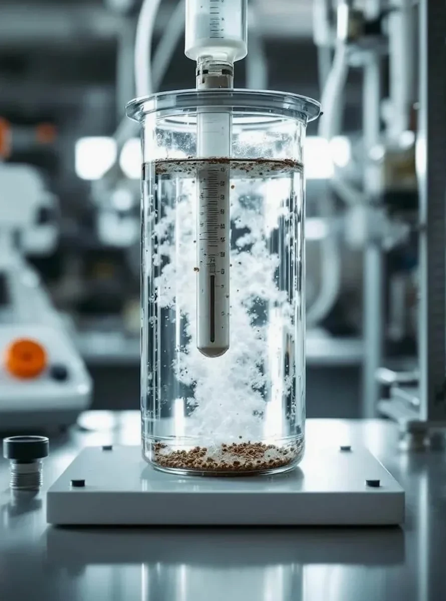
Full Sieve + Hydrometer Package (ASTM D422)
Combined mechanical sieve analysis for particles retained on the No. 200 sieve plus sedimentation hydrometer for the silt and clay fraction, delivered as a semi-log gradation curve with Cu and Cc coefficients.
Wash Sieve Analysis (ASTM D1140)
Determination of the minus-200 fraction by wet sieving, suitable for quality control checks on aggregate base course and concrete sand sourced from Sioux Falls quarries.
USCS Classification Report (ASTM D2487)
Complete soil classification integrating gradation results with Atterberg limits data, assigning the dual-letter group symbol and full descriptive name required by IBC foundation design chapters.
Typical parameters
Common questions
How long does a full grain size analysis take in your Sioux Falls lab?
A standard sieve plus hydrometer test per ASTM D422 typically requires three to four business days from sample drop-off to final report. The hydrometer phase alone takes 24 hours because we take readings at precise time intervals — 2, 5, 15, 30, 60, 250, and 1440 minutes — to build the sedimentation curve accurately. If the project is urgent, we can expedite the sieve portion and have the coarse fraction results within 24 hours, with the hydrometer data to follow.
What does a grain size analysis cost for a soil sample from a Sioux Falls construction site?
For a combined sieve and hydrometer analysis on a typical soil sample from the Sioux Falls area, the cost generally ranges between US$100 and US$200. The final price depends on whether we need to run a separate wash sieve for the minus-200 fraction and whether the sample requires extensive drying or disaggregation due to the clay-rich glacial till common in Minnehaha County.
Can I just use a field sieve instead of sending samples to the lab?
A field sieve gives you a rough idea of the coarse fraction, but it will not tell you whether the fines are silt or clay, and it definitely won't give you the D10 needed for filter design or the Cc required for USCS classification. In the silty glacial soils found across much of Sioux Falls, we routinely encounter samples where the hydrometer reveals 20 to 40 percent fines that the field sieve missed entirely, and that difference can change the recommended subgrade treatment from simple compaction to chemical stabilization.